RTK kits for utilities mapping

with centimeter level accuracy

Are These Utility Installation Problems Slowing You Down?

  • Have you ever hit a pipeline while digging because it was placed at the wrong depth or position?
  • Have you had trouble avoiding other underground pipes and cables because maps were outdated or unclear?
  • Have you ever needed to find a underground  pipeline after a few years—only to realize you don’t know exactly where it is?
  • Have you needed to inspect or maintain a pipeline but couldn’t find reliable records of its exact location?

If you’ve faced any of these issues, you’re not alone! Accurate installation and mapping of your utilities is key!

RTK Kits for mapping of utilities with 1-centimeter accuracy

Traditional survey performance at affordable cost. Just connect to NTRIP and you are ready to go!

Surveyors

High precision geolocation

Portable survey performance that fits on your hand. Just add a phone and you’re ready to go!

Utility maps

Lightweight

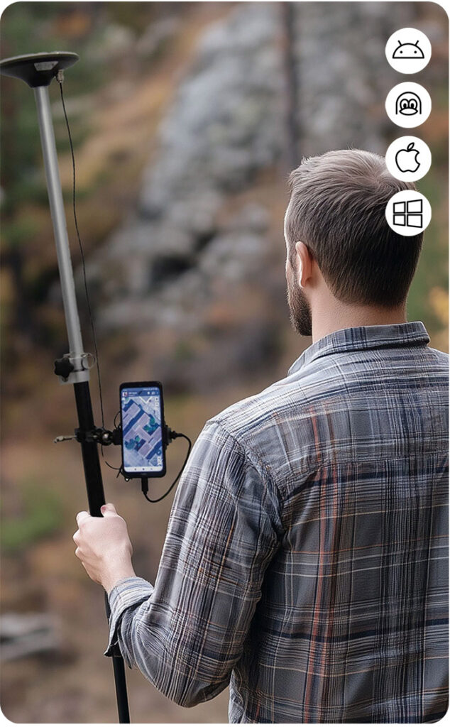
Why use RTK Surveyor kits for Pipeline Construction?

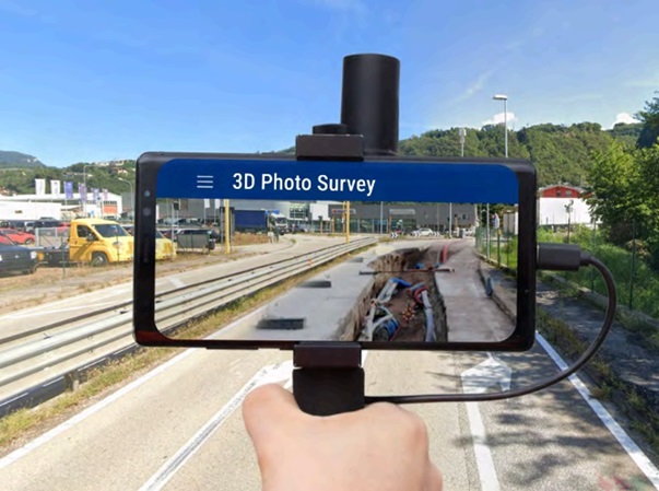
Construct faster with centimeter accuracy

RTK gives you centimeter-level precision, so you can place pipelines exactly where they need to be, avoiding mistakes and misalignment. RTK reduces the need for manual measurements, saving you time.

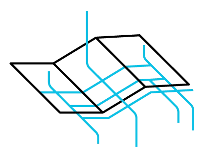
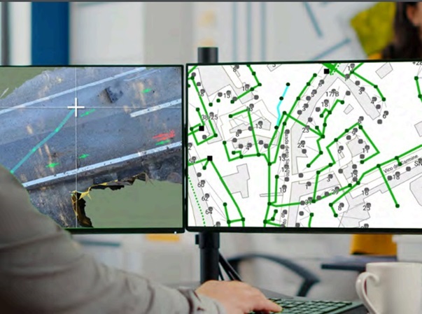
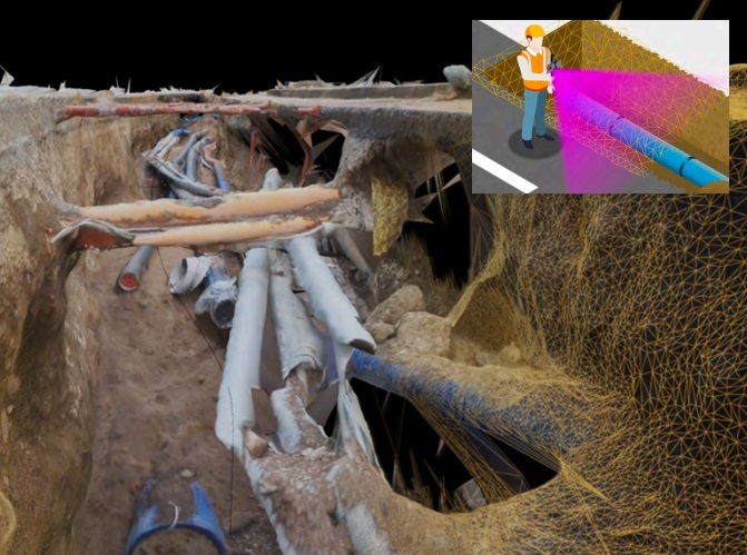
Avoid hitting other underground utilities

With real-time accurate mapping, you can see exactly where to dig, helping you avoid costly damage to water, gas, or electrical lines.

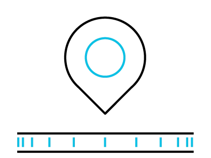
Easily Find Your Pipeline in the Future

Years later, when you need to repair or expand, RTK-recorded coordinates will help you quickly locate the exact position of your pipeline.