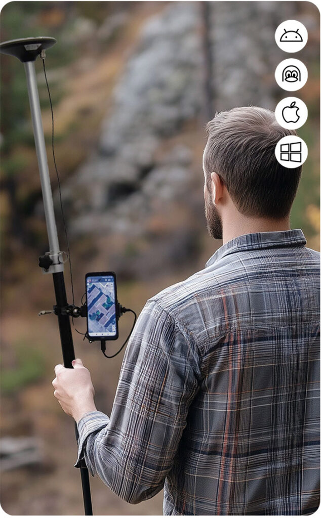
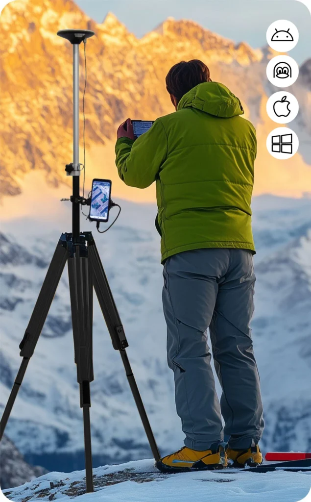
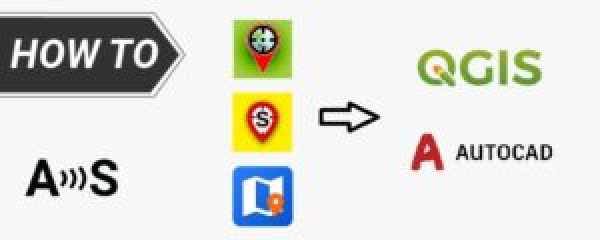
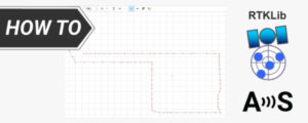
Easy-to-use GNSS/RTK Kits for Archaeological mapping

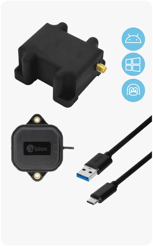
Affordable and ready to work RTK sets for professional users. If you already have a phone or tablet, this is everything you need to start your surveying or high precision tasks with RTK and centimetre level accuracy.

Traditional survey performance at affordable cost. Just connect to NTRIP and you are ready to go!

Surveyors

High precision geolocation

Portable survey performance that fits on your hand. Just add a phone and you’re ready to go!

Utility maps

Lightweight

No Internet or no NTRIP correction service available? This is the kit for you.

Surveyors

High precision geolocation

The minimum that you need to achieve centimeter level precision.

Tractor navigation

General Purpose

Start to map the excavation sites and pinpoint finding with our Tutorials now!

New to RTK?

RTK in 5-minutes for non-surveyors

Learn how to upgrade your laptop, tablet or mobile phone to have centimeter precision!

RTK Product Selector

If you are new to the high precision world, with a few questions we will help you find the best product for your needs.

Do you need help? Contact ArduSimple and we will help within 24 hours!